
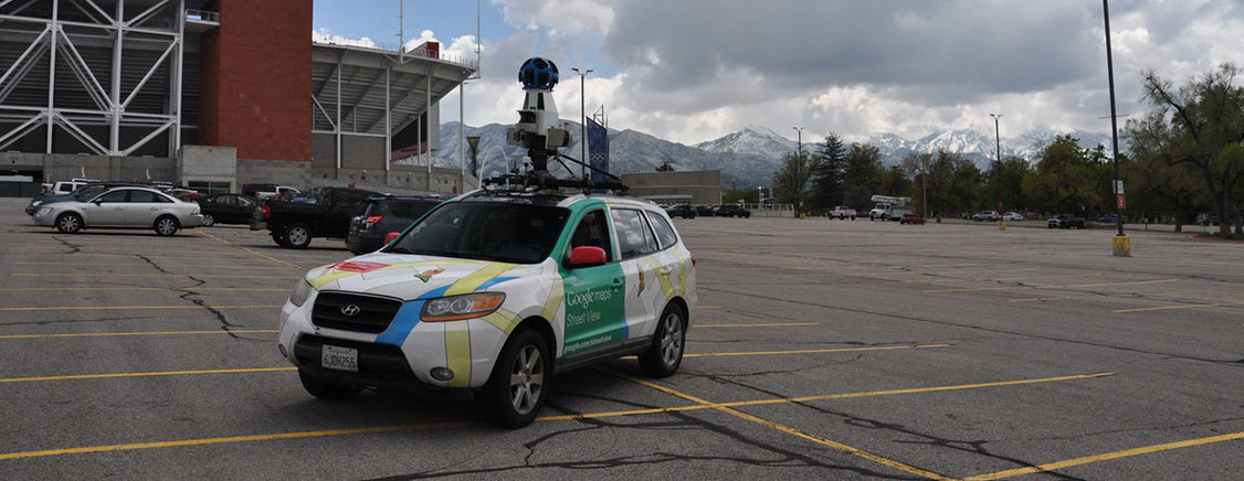
In 2019, University of Utah atmospheric scientists, the Environmental Defense Fund and other partners added a new tool to their quiver of air quality monitors—two Google Street View cars, Salt Lake Valley’s roving sentinels that would detect hyper-local air pollution hotspots. In the ensuing months John Lin, professor of atmospheric sciences at the U, developed a new modeling approach that used modeled wind patterns and statistical analysis to trace pollution back to its source location to a scale previously missed by coarser scale monitoring projects that have traditionally characterized air quality averaged over an entire urban airshed.
“With mobile vehicles, you can literally send them anywhere that they could drive to map out pollution, including sources that are off the road that previous monitoring missed,” said Lin, who also serves as associate director of the Wilkes Center for Climate Science & Policy. “I think the roving sentinel idea would be quite doable for a lot of cities.”
The authors hope that other places will utilize the new method to identify pollution hotspot sources to make their cities safer, including identifying temporary sources, such as gas leaks, and permanent sources, such as industrial sources. Roving sentinels could help policymakers enact regulations and more effectively utilize resources to mitigate damage to their citizens.
John Lin is a professor in Atmospheric Sciences and a GCSC faculty affiliate.
Excerpted – read the full original article in At the U.
Find the study here.